Previous
Next
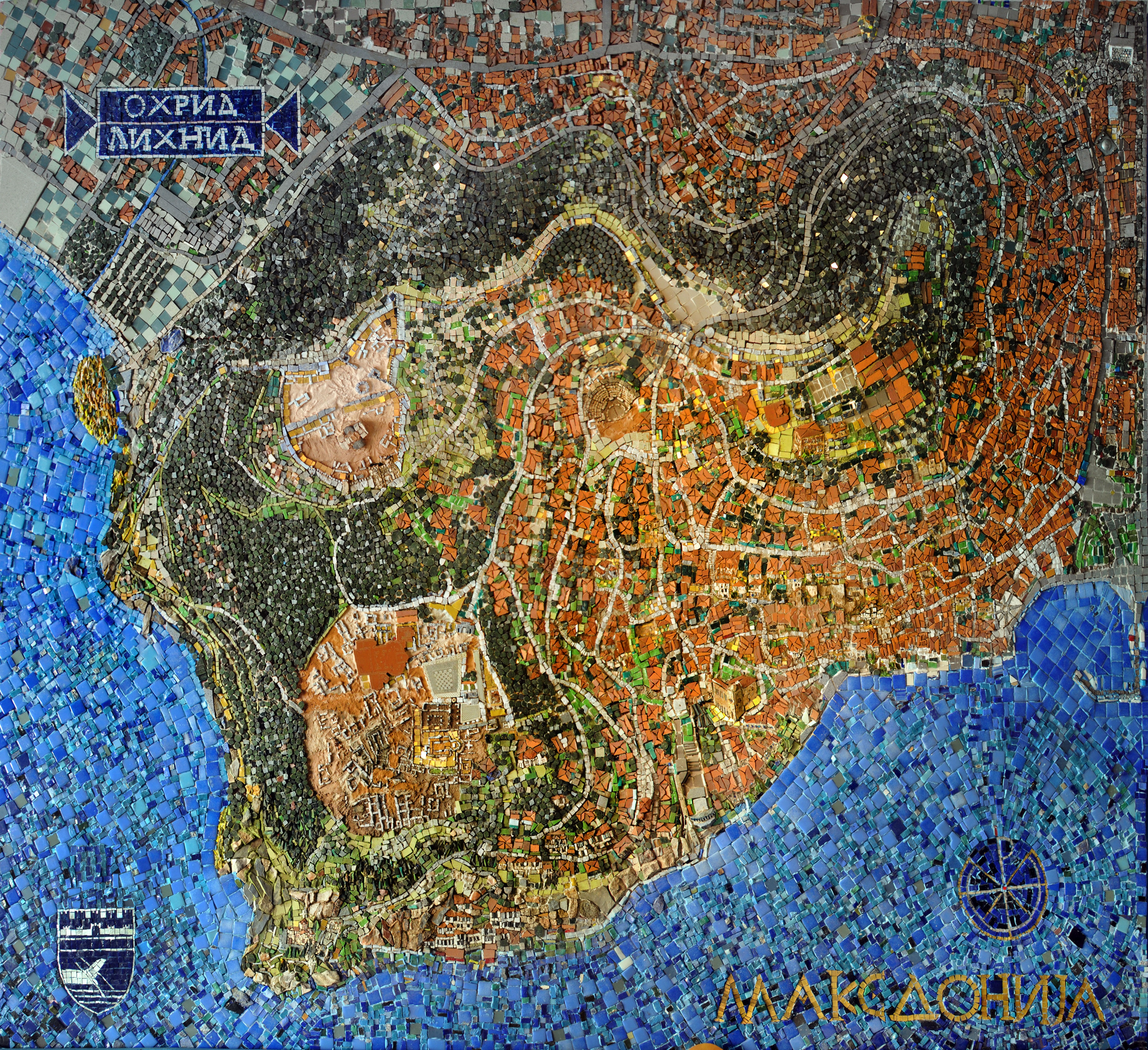
Interactive mosaic map of city of Ohrid and Lichnid
The idea of the mosaic “Map of Ohrid” was developed in 2006 with the development of the application Google maps. The whole design is made in accordance with its base and geographic coordinates. Mosaic has a distinctive birds-eye view which represents all of the existing trails and roads, with stairs leading through characteristic architectural structures between today’s houses, in which many remains of archaeological sites are preserved.
Suddenly, en face; bases, side views and three-dimensional representations of objects from the antiquity, early Christian basilicas, churches and groups of ambient landscapes with characteristic architecture of the city appears.
[Pop-Up over mouse hover at the point of interest]
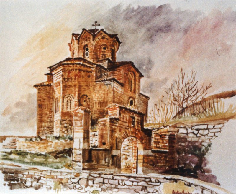
Church of St. Sophia

Church of Saints Clement and Panteleimon [Plaoshnik]

Kaneo

St. John Theologian Kaneo
Church of St. Bogorodica Peribleptos

Ancient Theatre of Ohrid

St. Nikola (Hospital)

St. Bogorodica (Hospital)

Church St. Bogorodica Pandonos

Church "Assumption of Mother of God" - Kamensko

Art Atelier & Gallery Upevche

Church of St. Nikolas Gerakomia

Ohrid Plane Tree - Chinar


Old Bazaar - Charshija

Saraishte

Church St. Clement the Lesser

St. Constantine and Elena

Saint Nichols the Miracle-Worker

Small Church of St. Cosmas and Damian

Old Bazaar - Charsija

Samuel's Fortress

Deboj

Robevci house - museum & lapidarium

Port

Nakolja

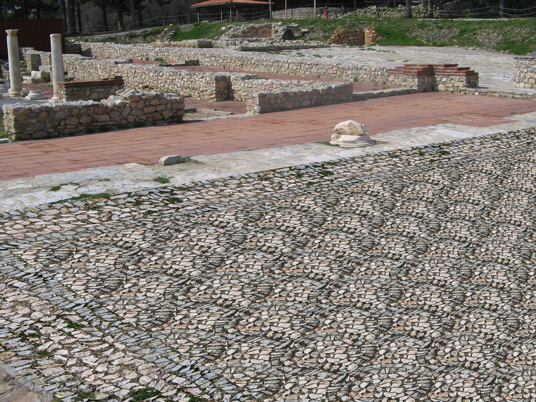
Agora - Opus Barbaricum

Kaneo St John & St Petka

St. John Theologian Kaneo & ECHO

Square - Opus Barbaricum
Basilica "POPARNICA"

Basilica "MANCHEVCI"

Basilica "KLIMENTSKA"

Port

Ohrid Square

Samoil's Fortress

Samoil's Fortress

Upper Gate

Upper Gate

Saint Sofia

CHINAR

Bogorodica Chelnica

Square Corridor - Opus Barbaricum

Narthex and Diaconicon South Basilica PLAOSHNIK

Kleon Bath PLAOSHNIK

West Basilica PLAOSHNIK

Restaurant "St Sofia"

Icon Gallery Ohrid | Museum Ohrid

NI INSTITUTE FOR PROTECTION OF MONUMENTS OF CULTURE AND MUSEUM - OHRID

Church of St. Varvara

Saints Cosmas and Damian Church

Varosh

Varosh

Saraishte

Mesokastro

Via Sakra

Krapche

Macedonian type tomb

Archangel Michael KOSHISHTA

Restaurant "Star Chinar"

J`no

The Forty Martyrs

Stairs

Boshale

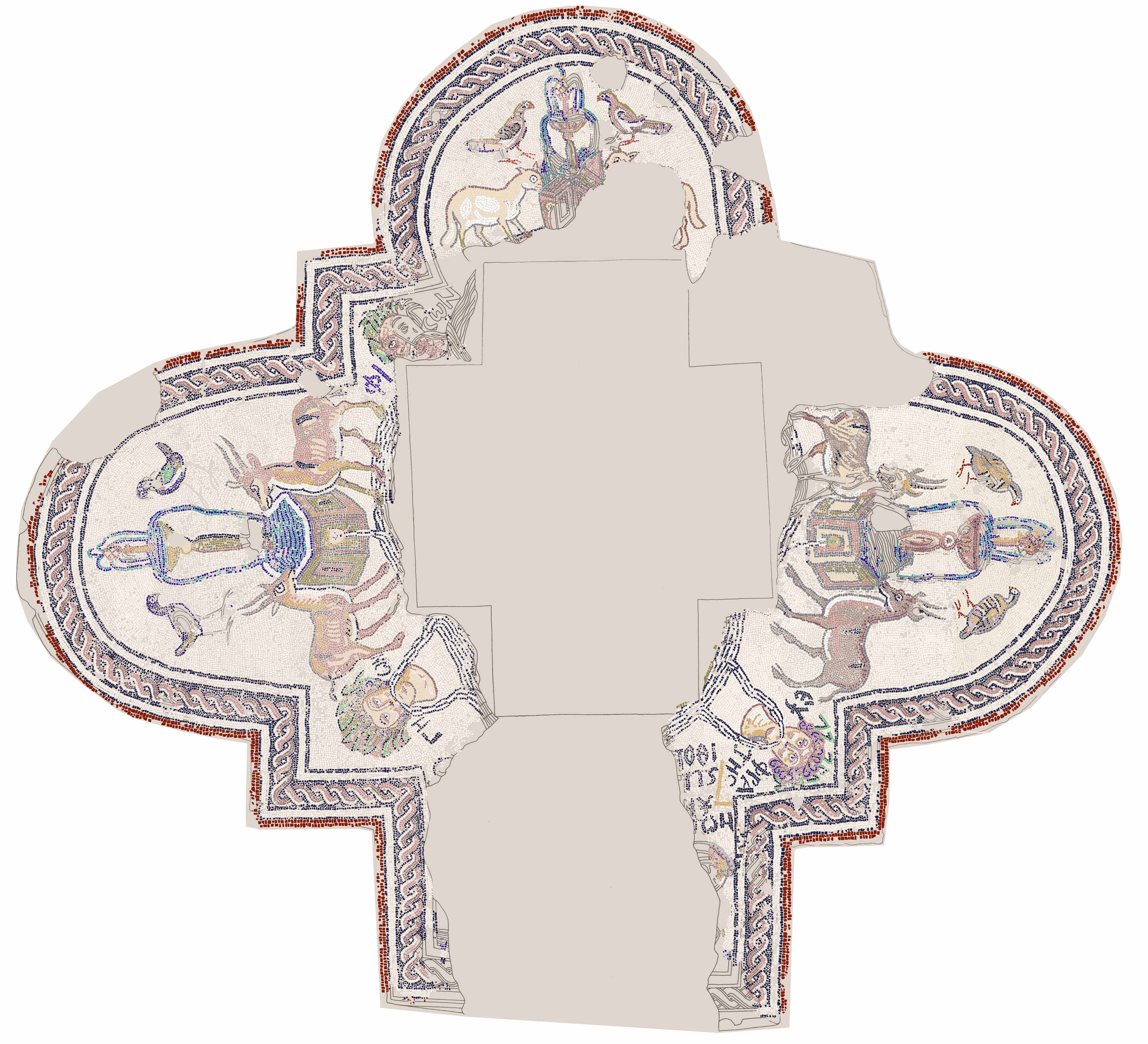
Baptistery "Four Rivers of Paradise"
Ali Pasha Mosque and Early Christian Basilica

The city clock tower and Bogorodica Kamensko

Baptistery South Basilica

East Basilica Plaoshnik
Samuil fortress, Plaoshnik, Kaneo

Potpesh

Imaret / Panteleimon

Potkadi / Dolni Saraj

Dolni Saraj

St.Demetrius Mirotochiv Church

Early Christian Basilica “Leshtar”

Macedonian Orthodox Church – Ohrid Archbishopric – Diocese of Debar and Kichevo

Tabana

Mosaic map of city of Ohrid and Lichnid / Lower Gate Square